

2009. Summit Road Bridle Path Carpark by Pioneer Women Memorial Hut. Mt Cavendish with Gondola Station & Mt Pleasant backdrop (1)

2009. Jane Deans Bench, Bridle Path top, Heathcote Valley side. The Tors & Castle Rock backdrop (2)

2009. Heathcote Valley with Avon-Heathcote Estuary & Pegasus Bay backdrop (3)
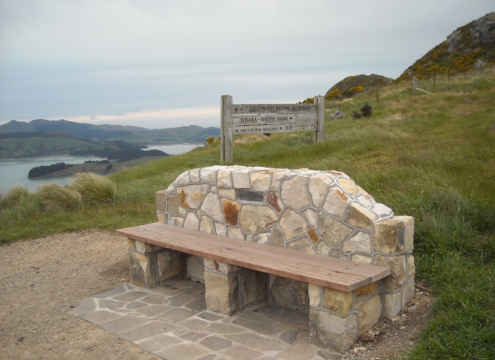
2009. Emily Rose Jacobs Bench, Bridle Path Carpark. Quail Island & Banks Peninsula backdrop (4)

2009. Cavendish Bluffs Track view of Lyttelton, Mt Bradley, Quail Island, Gebbies Pass & southern Port Hills (5)

2009. Cavendish Bluffs Track view of Mt Pleasant. Major Hornbrook Track left (6)

2009. Cavendish Bluffs Track / Major Hornbrook Track junction view of Lyttelton, Diamond Harbour, Mt Herbert, Mt Bradley & Gebbies Pass (7)

2009. Major Hornbrook Track view of Bluffs below Mt Cavendish (8)

2009. Major Hornbrook Track view of Mt Pleasant Bluffs (9)

2009. Major Hornbrook Track Walkers below Mt Cavendish Gondola Station (10)

2009. Major Hornbrook Track / Chalmers Track Junction below Mt Cavendish Bluffs & Gondola Station (11)

2009. Major Hornbrook Track start / end, Somes Road, Lyttelton, below Mt Cavendish & Mt Pleasant slopes (12)

2009. Ross Parade / Ross Terrace view of Lyttelton, Quail Island & Gebbies Pass (13)

2009. Hawkhurst Road view of Lyttelton, Diamond Harbour, Mt Evans & The Monument (14)

2009. Flimwell Lane view of Lyttelton houses on Mt Cavendish slopes (15)

2009. Top of Flimwell Lane below Ticehurst Terrace, on the way to Bridle Path, Lyttelton (16)

2009. Ticehurst Terrace on the way to Bridle Path, Lyttelton (17)

2009. Ticehurst Terrace view of Lyttelton houses on Mt Cavendish & Mt Pleasant slopes (18)

2009. Ticehurst Terrace / Bridle Path Intersection, Lyttelton (19)

2009. Bridle Path view of Lyttelton, Diamond Harbour, Mt Evans, The Monument, Mt Herbert & Mt Bradley (20)

2009. Gate Post & Wooden Bench, Bridle Path, Lyttelton (21)

2009. Bridle Path view of Lyttelton Harbour (22)

2009. Bridle Path view of Lyttelton, Diamond Harbour, Mt Evans, The Monument & Mt Herbert (23)

2009. Cressy Bench, Bridle Path (24)

2009. Randolph Bench, Bridle Path (25)

2009. Randolph Bench Plaque, Bridle Path (26)

2009. Randolph Bench view of Lyttelton, Diamond Harbour & Mt Evans (27)

2009. Randolph Bench view of Lyttelton, Diamond Harbour, Mt Evans, The Monument, Mt Herbert & Mt Bradley (28)

2009. Randolph Bench view of Lyttelton, Diamond Harbour, Mt Herbert, Mt Bradley & Quail Island (29)

2009. Randolph Bench view of Mt Bradley, Quail Island & Gebbies Pass (30)

2009. Randolph Bench view of Quail Island & Gebbies Pass (31)

2009. Upper Bridle Path view of Lyttelton, Diamond Harbour, Mt Evans & The Monument (32)

2009. Bridle Path WW2 Guard Hut view of Mt Evans (33)

2009. Bridle Path Carpark view of Diamond Harbour, Mt Herbert & Mt Bradley (34)

2009. Summit Road view of Bridle Path, Heathcote Valley, Avon-Heathcote Estuary, Christchurch, Pegasus Bay & Southern Alps (35)
Coda: The 2010-2011 earthquakes caused extensive quake damages to Castle Rock, Heathcote Valley, Lyttelton & Christchurch.
Content & pics Copyright Mark JS Esslemont
No comments:
Post a Comment